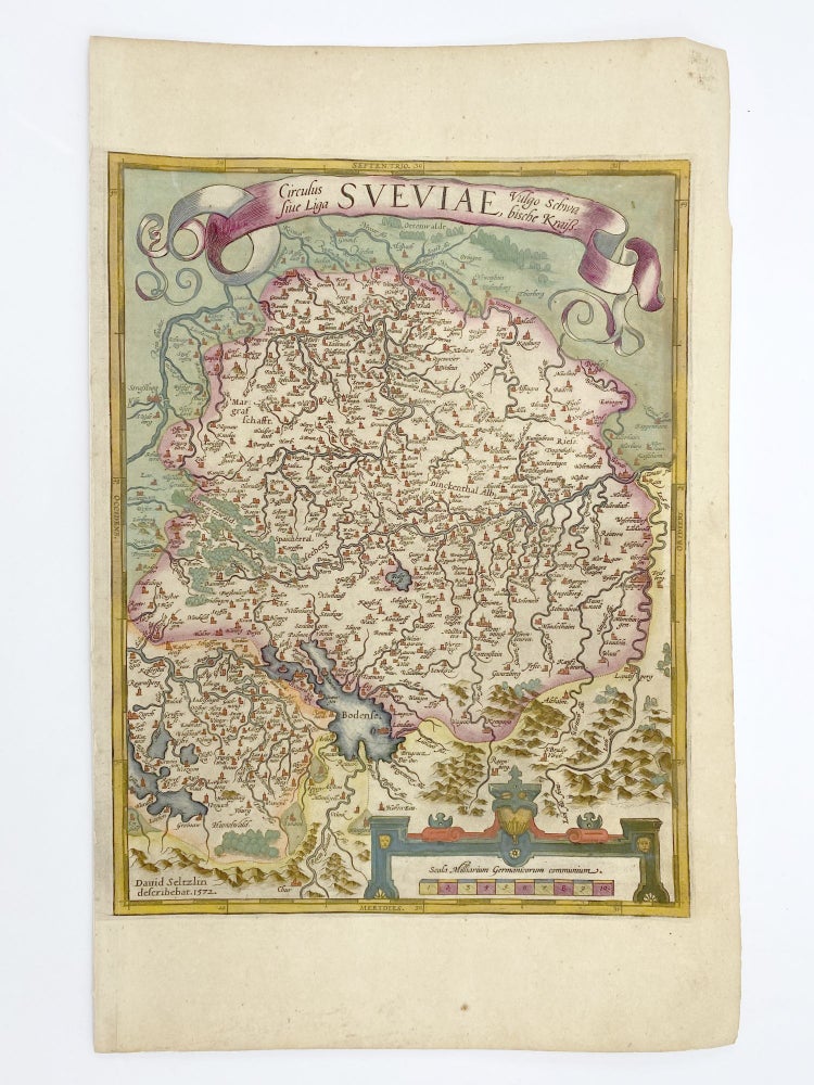
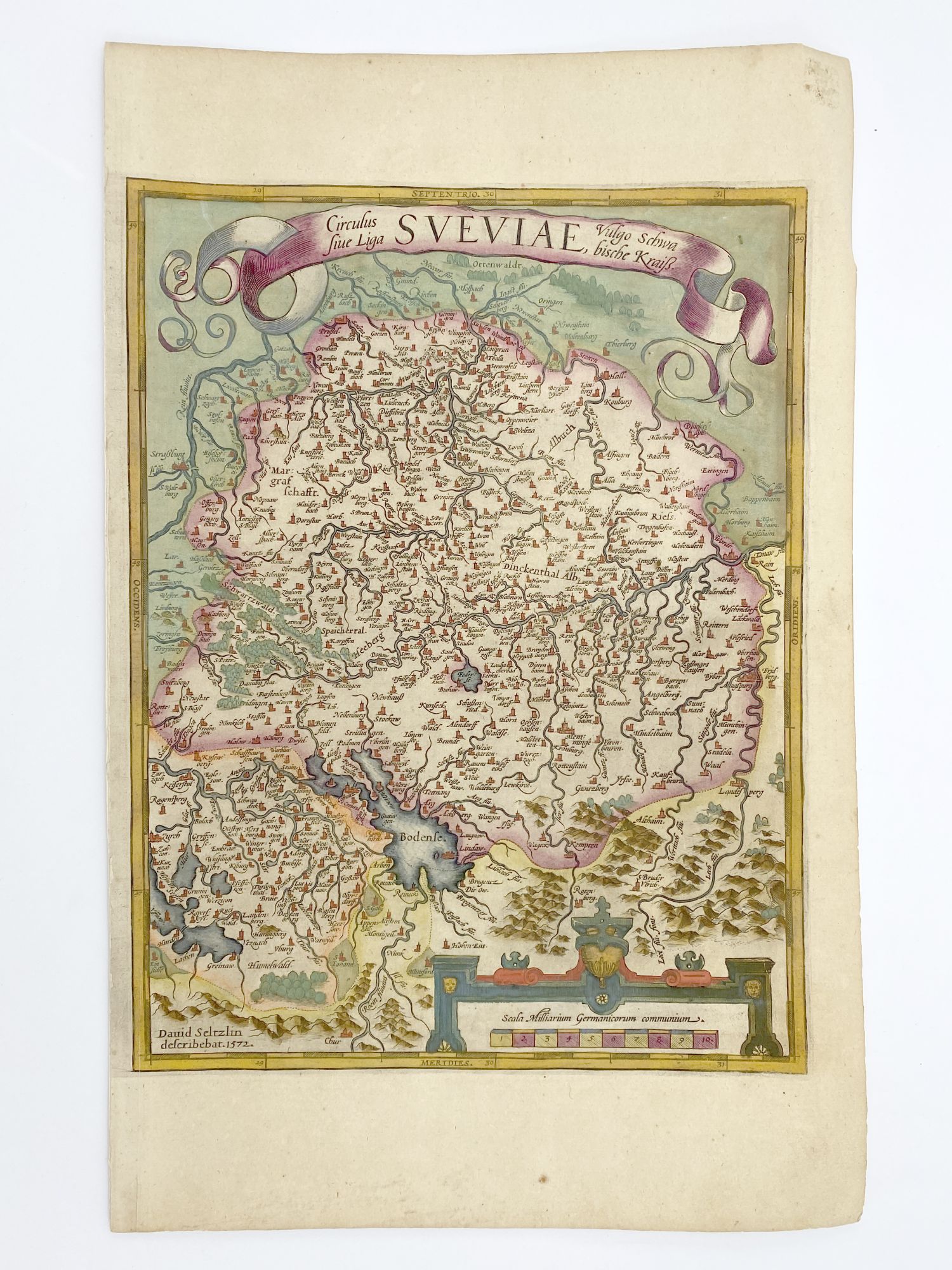
Circulus sive Liga Sveviae
[Antwerp]: Dated 1572 [but between 1608 and 1612]. Hand colored engraved map, 12 5/8 x 9 7/8 inches image, 16 1/2 x 10 5/8 inches sheet. Crossed arrows watermark. Tape reinforcements along edge on verso, without show-through and not affecting image, a few foxmarks, overall in very good condition with good color. Item #406876
A fine map from Ortelius's atlas showing Lake Constance, the Danube and Rhine. Bounded by the Lech, Odenwald, Alsace and Chur in Switzerland.
Price: $200.00
See all items by Abraham ORTELIUS