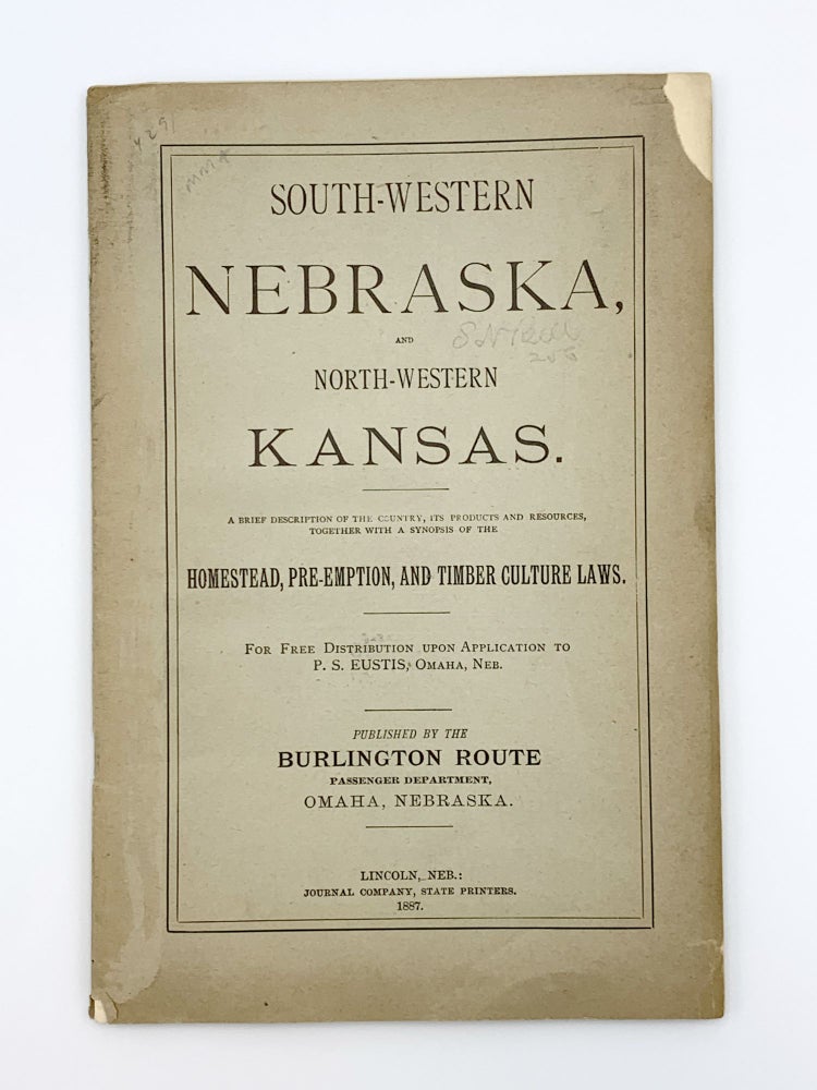
South-Western Nebraska, and North-Western Kansas. A Brief Description of the Country, its Products and Resources, Together with a Synopsis of the Homestead, Pre-emption, and Timber Culture Laws
Lincoln: Journal Company, 1887. 8vo. 16pp. Very fine folding map by F. Hirschfeld, with railroad routes in color, printed Chicago: Shober & Carqueville: "Map of Nebraska and Eastern Colorado." Original printed wrappers. Some light soiling; map with a few small separations along folds. Item #403728
FIRST EDITION, published by the Burlington Route. "Karrow [for the map] shows editions of 1883,1885, and 1887 as well as this issue. This map is similar to the 1880 Map of Nebraska by Herman Smith, also published by the State Journal Company, but the title has been moved to the upper right corner to allow coverage of north eastern Colorado and the Burlington Railroad route to Denver. This map was also issued by the Burlington Railroad in 1886 and 1887 as part of their route promotion (Karrow 12-0574 and 12-0591). Compared to the 1880 map, there is much new development of railroads and the northwestern corner of the state" (Rumsey; Karrow 12-0581).
Price: $1,000.00
