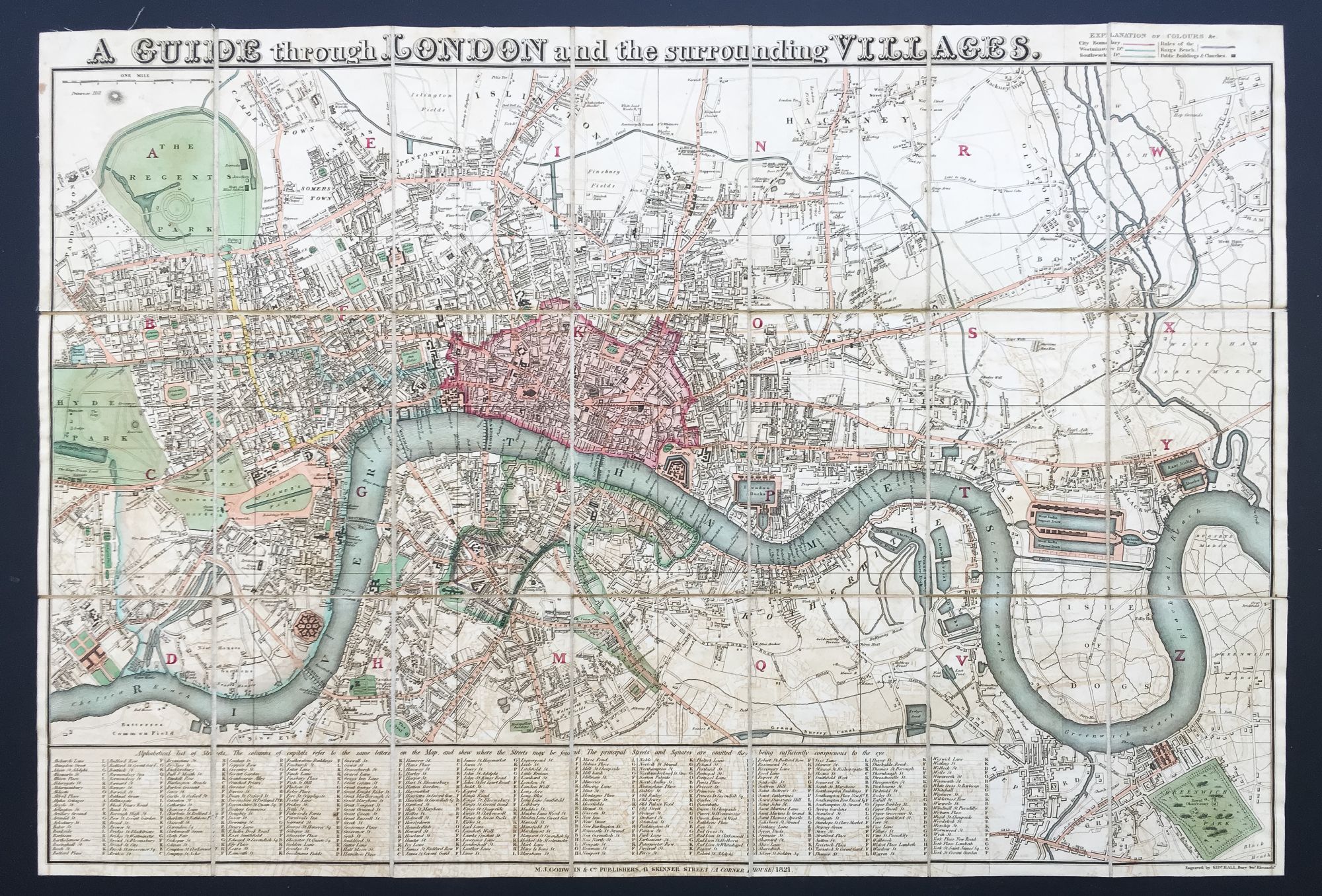
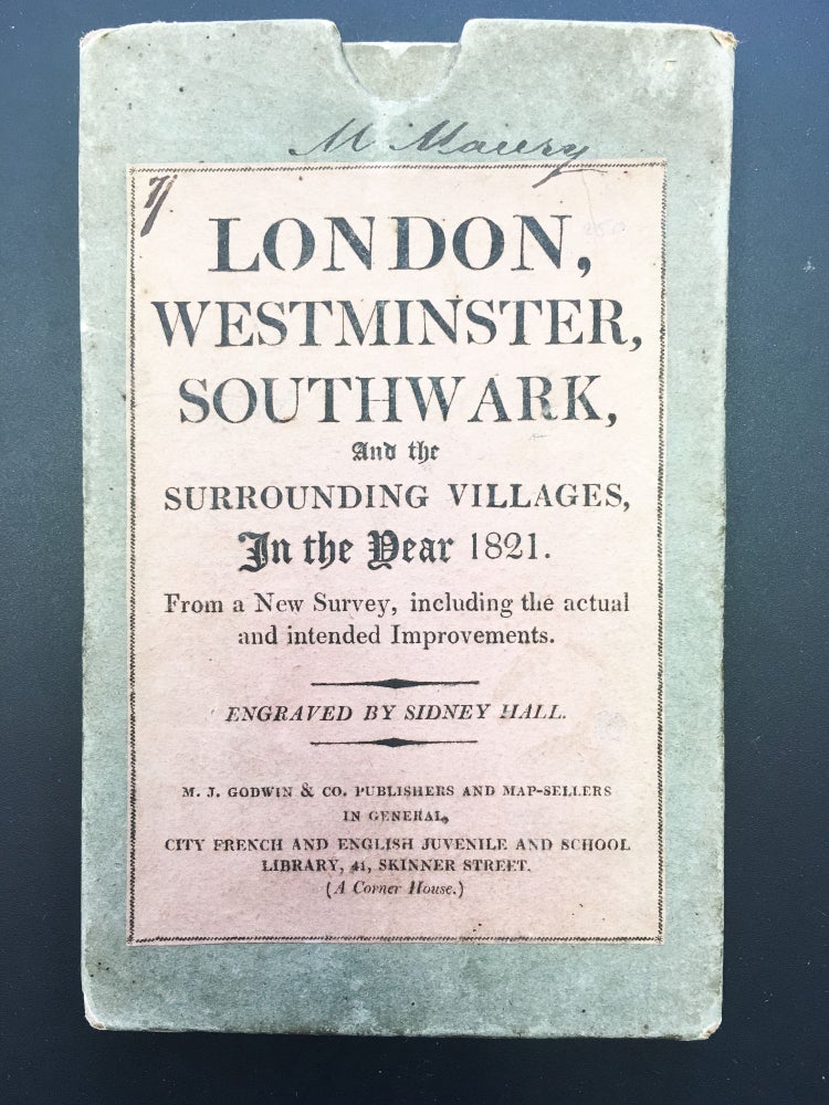
A Guide through London and the surrounding Villages
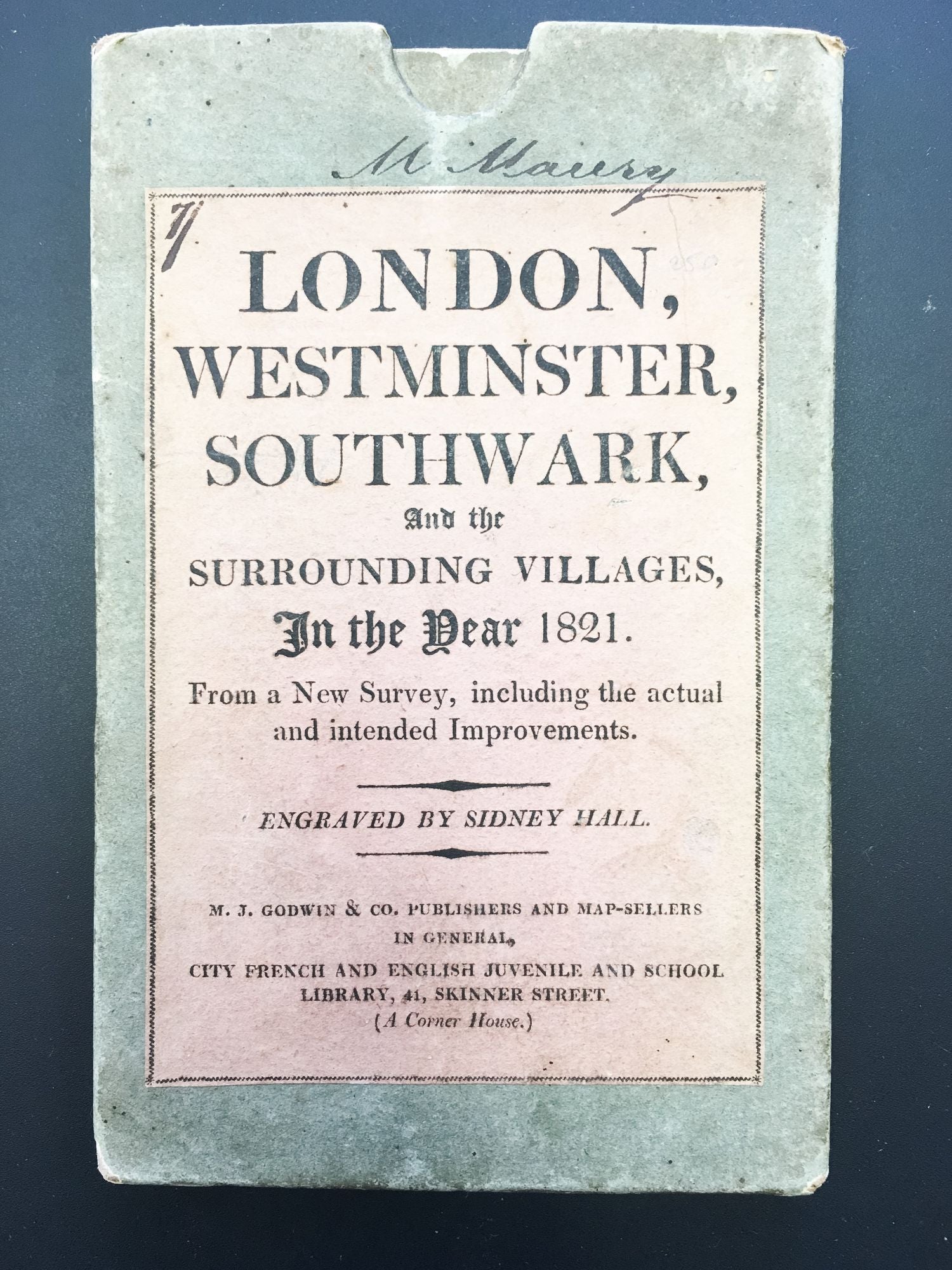
London: M.J. Godwin & Co., 1821. Hand-colored engraved map by Sidney Hall, dissected into 21 sections and mounted on linen, overall 30 5/8 x 20 7/8 inches, folding to 7 x 4 3/8 inches. In original publisher's board slipcase, pink printed title label on front. Some pale offsetting. Item #400373
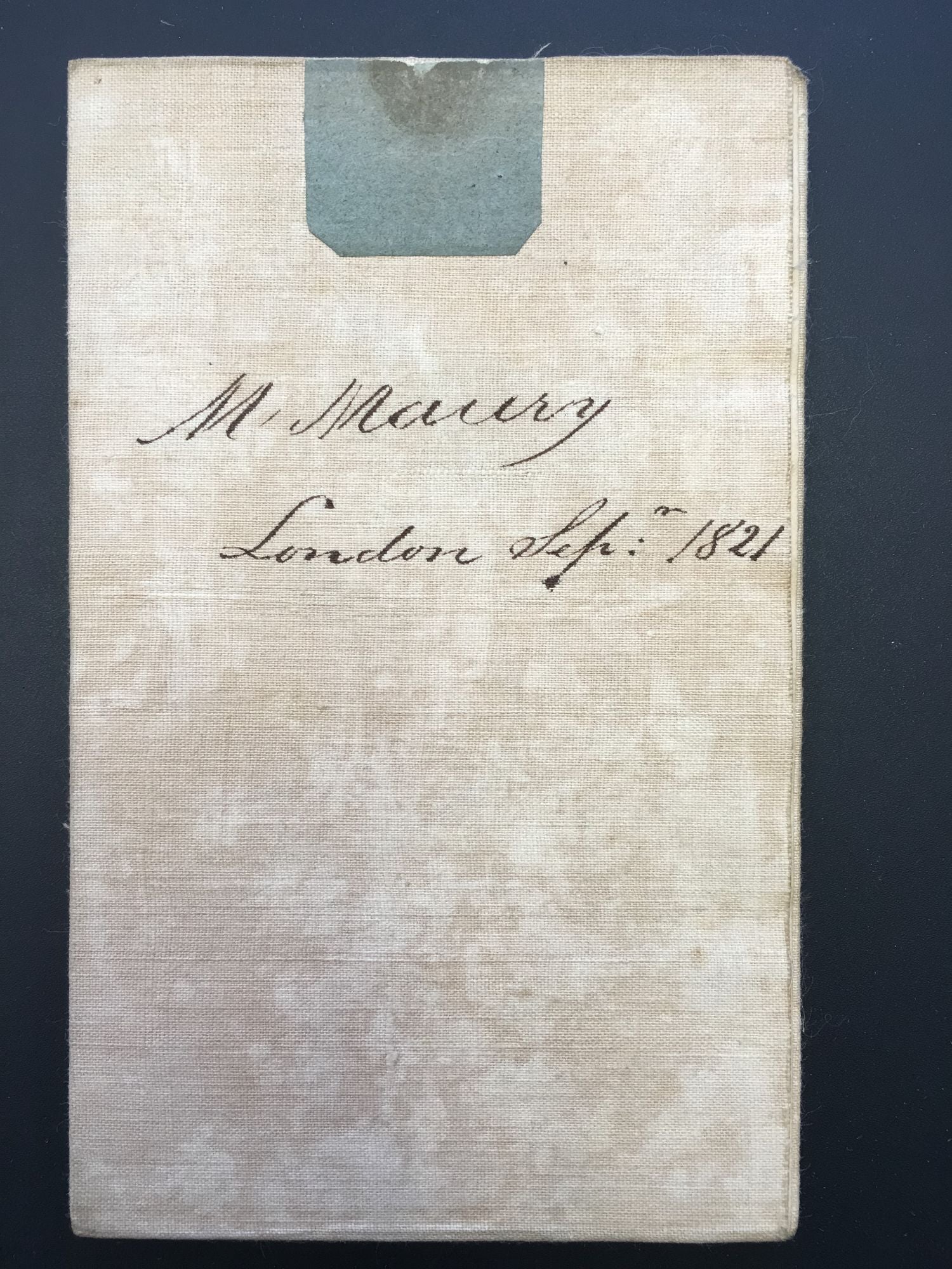
This large and handsome map spans the entire city of London and its environs, drawn, as its cover label reports, from a new survey, “including the actual and intended Improvements.” At furthest left are Hyde and Regents Parks, and at furthest left is Greenwich Park. The map shows as far north as Islington and Hackney and as far south as Deptford and Greenwich. The Thames is depicted horizontally across the map, and the hand-coloring demarcates various areas and features, such as central London defined by a red border, the major streets done in pink, the parks and water in green. Yellow is reserved only for Regent Street. Five bridges are shown, from west to east: Vauxhall, Westminster, Waterloo, Blackfriars, and London. Clearly shown from top left and wandering southeast to the Thames is Regent’s Canal, the large project that had reached completion just one year before this map’s publication. Printed at bottom is an alphabetical list of streets with a key to their positions on the map. With contemporary provenance, signed by “M. Maury London Sept. 1821” on verso of linen and title label.
Price: $800.00